Coach
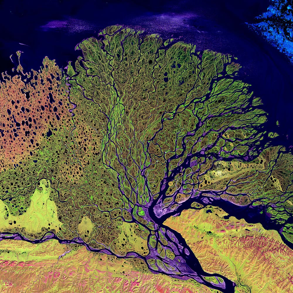
Remote sensing is the observation of the Earth from a distance, from aircraft or from satellites, by measuring the light and other radiation that the surface sends back. A satellite image is a picture of part of the Earth built from these measurements.