All books

Professional

Apps About Coach Log in Start reading

Earth and Space Sciences · Glossary

What is Satellite positioning?

Definition 32.10 Primary & Middle School Earth and Space Sciences · Chapter 32 — Maps of the Whole Earth

Satellite positioning is finding a position on the Earth from the distances to several satellites whose positions are known. A receiver computes each distance from the time a signal from the satellite takes to reach it.
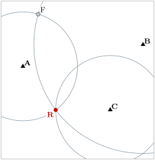
Positioning on a flat map (a sketch; grid in kilometres not drawn). The receiver R is 5\, km from A, 10\, km from B and 5\, km from C. The circles around A and B cross at R and at a false point F; only R also lies on the circle around C.
Positioning on a flat map (a sketch; grid in kilometres not drawn). The receiver R is 5 km5\,\mathrm{km} from A, 10 km10\,\mathrm{km} from B and 5 km5\,\mathrm{km} from C. The circles around A and B cross at R and at a false point F; only R also lies on the circle around C.
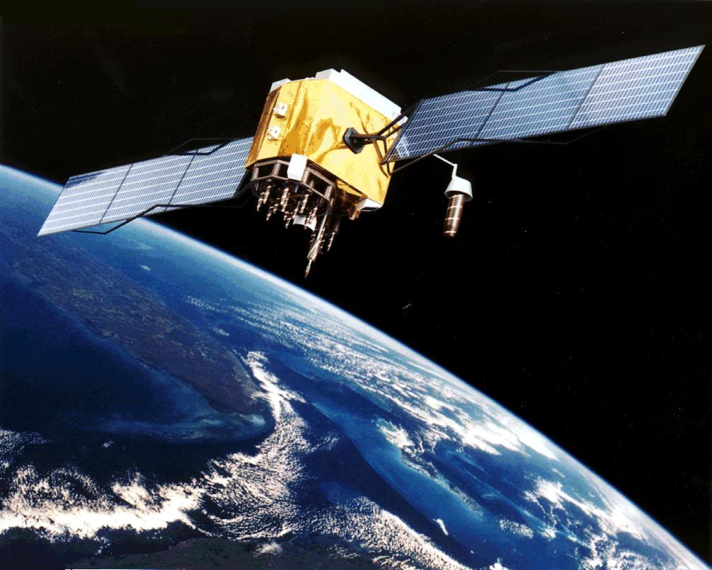
A GPS satellite in orbit, as an artist pictured it. NASA (public domain, via Wikimedia Commons).
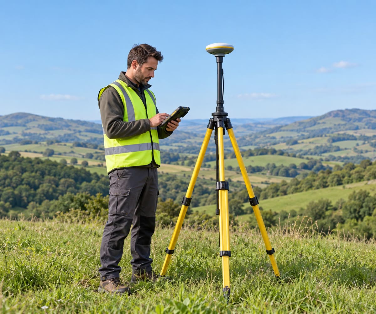
A surveyor fixes the position of a point with a satellite receiver on a tripod (an illustration).
Read in context →