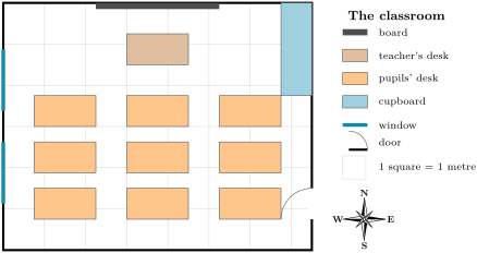
The scale of a plan or a map tells how much smaller the drawing is than the real place: how far on the ground a length on the drawing stands for. For example: 1 square stands for 1 metre.
 Coach
登录
开始阅读
书籍暂未推出简体中文版——当前显示英文版。
Earth and Space Sciences · 术语表
The scale of a plan or a map tells how much smaller the drawing is than the real place: how far on the ground a length on the drawing stands for. For example: 1 square stands for 1 metre.