
全部书籍

专业

应用 关于 Coach 登录 开始阅读

书籍暂未推出简体中文版——当前显示英文版。

Earth and Space Sciences · 术语表

什么是 Depression and anticyclone?

又称: depression (weather) · anticyclone

Definition 25.3 Primary & Middle School Earth and Space Sciences · 第 25 章 — Air Masses, Fronts and Weather Maps

A depression, or low, is a region where the pressure at sea level is lower than all around it. An anticyclone, or high, is a region where it is higher than all around it.
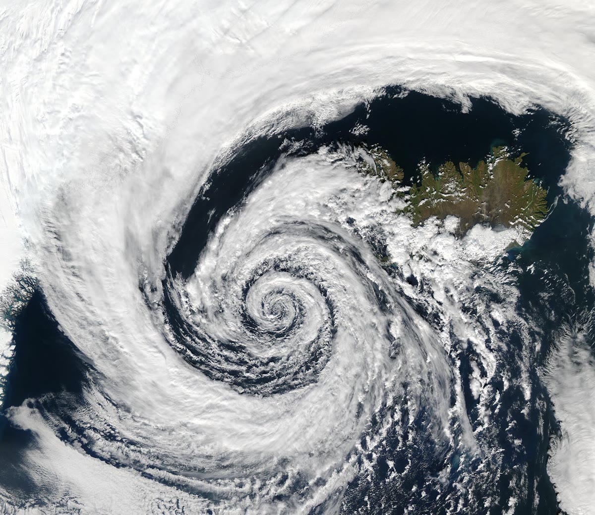
A depression south-west of Iceland (the island at the top right) seen by NASA’s Aqua satellite on 4 September 2003. Its clouds spiral in towards the centre, turning anticlockwise as in every depression of the northern hemisphere. NASA/GSFC, MODIS Rapid Response Team, Jacques Descloitres (public domain, via Wikimedia Commons).

示例

Example 25.7 (Reading a barometer’s record)

For the first 8 hours the pressure rises to about 1031 hPa1031\,\mathrm{hPa}: the anticyclone passes over S, with settled weather. Then it falls for 30 hours, by about 45 hPa45\,\mathrm{hPa}: the depression is coming. It falls fastest a few hours before the warm front passes, more slowly in the warm air behind it, and reaches its lowest, about 986 hPa986\,\mathrm{hPa}, just as the cold front passes. Then it rises: the depression is moving away, and the cooler, clearer air behind the cold front arrives.

在原文中阅读 →