Coach
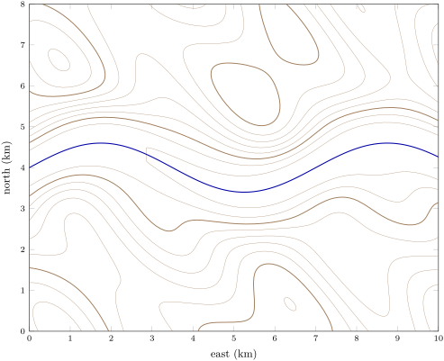
A digital elevation model is a grid of ground elevations, , at regularly spaced points. A geographic information system stores such grids and the map’s other layers (contacts, faults, measurements, boreholes) in a common frame of coordinates and computes with them.