
全部书籍

专业

应用 关于 Coach 登录 开始阅读

书籍暂未推出简体中文版——当前显示英文版。

Earth and Space Sciences · 术语表

什么是 Digital elevation model?

Definition 4.2 University Earth and Space Sciences — Year 1 · 第 4 章 — Geological Maps

A digital elevation model is a grid of ground elevations, z=g(x,y)z = g(x,y), at regularly spaced points. A geographic information system stores such grids and the map’s other layers (contacts, faults, measurements, boreholes) in a common frame of coordinates and computes with them.
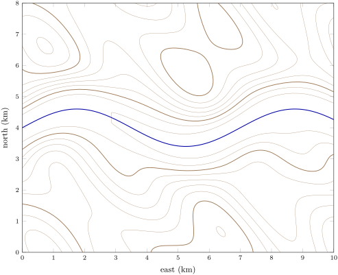
The Varden Hills as a digital elevation model: the ground lit from the north-west, with contours every 50\, m (thicker at 250 and 500\, m) and the river, which flows east.
The Varden Hills as a digital elevation model: the ground lit from the north-west, with contours every 50 m50\,\mathrm{m} (thicker at 250 and 500 m500\,\mathrm{m}) and the river, which flows east.
在原文中阅读 →