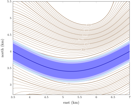
A hazard map shows the places that a natural hazard can reach, often with several levels of danger. It is drawn from what the hazard has done in the past and from the shape of the ground.

 Coach
登录
开始阅读
书籍暂未推出简体中文版——当前显示英文版。
Earth and Space Sciences · 术语表
A hazard map shows the places that a natural hazard can reach, often with several levels of danger. It is drawn from what the hazard has done in the past and from the shape of the ground.